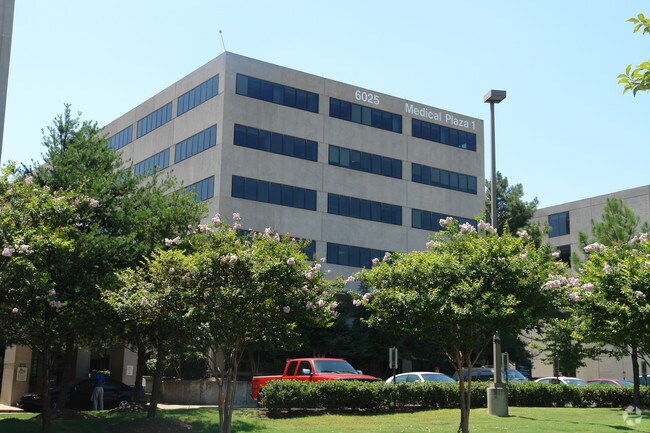
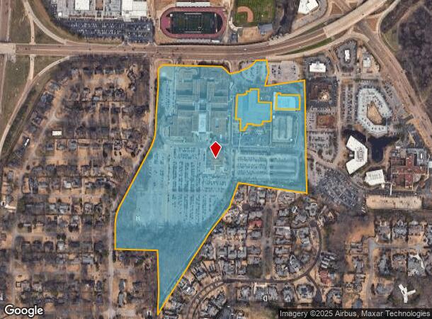
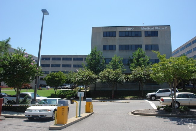
Property Record
6019 Walnut Grove Rd, Memphis, TN 38120
NEARBY LISTINGS FOR SALE OR LEASE
Property Detail
6019 Walnut Grove Rd
Memphis, TN-MS-AR
Baptist Memorial Hospital East Pd And
08-0008-0-0525C
SS WALNUT GROVE RD COR BRIERVIEW BAPTIST MEMORIAL HOSPITAL EAST PD PHASE VII FINAL PLAT
Hospitalpublic
Shelby
AE
Tennessee
47157C0313G
45.85 AC
0
East
2025
Memphis
021311
DEMOGRAPHICS near 6019 Walnut Grove Rd
1 Mile
3 Mile
5 Mile
2024 Total Population
4,072
50,949
197,939
2029 Population
3,971
49,629
193,727
Pop Growth 2024-2029
(2.48%)
(2.59%)
(2.13%)
Average Age
43
40
38
2024 Total Households
1,710
22,229
82,285
HH Growth 2024-2029
(2.63%)
(2.68%)
(2.20%)
Median Household Inc
$154,590
$81,147
$61,829
Avg Household Size
2.30
2.20
2.30
2024 Avg HH Vehicles
2.00
2.00
2.00
Median Home Value
$427,500
$312,647
$242,113
Median Year Built
1976
1973
1974
Nearby Places
Map Layers
Map Styles
 Street
 Aerial
- Restaurants
- Banks
- Shops
- Fitness
- Groceries
PUBLIC TRANSPORTATION
AIRPORT
Memphis International
DRIVE
WALK
Distance
Memphis International
21 min
13.7 mi
Freight Ports
Port of Shreveport
DRIVE
WALK
Distance
Port of Shreveport
417 min
383.7 mi
SALE & LEASE HISTORY
LISTING DATE
SALE/LEASE

Aug 01, 2017
For Lease
Nearby Properties
Address
Land Use
TOTAL SIZE
Lot Size
Zoning
Address
Land Use
TOTAL SIZE
Lot Size
Zoning
209,070 SF
5.10 AC
RU-3
Address
Land Use
TOTAL SIZE
Lot Size
Zoning
253,002 SF
2.82 AC
CA
Address
Land Use
TOTAL SIZE
Lot Size
Zoning
1,082,619 SF
34.67 AC
CMP-1
Address
Land Use
TOTAL SIZE
Lot Size
Zoning
290,566 SF
2.51 AC
R-15
Address
Land Use
TOTAL SIZE
Lot Size
Zoning
358,595 SF
3.65 AC
R-15
Address
Land Use
TOTAL SIZE
Lot Size
Zoning
85,062 SF
8.43 AC
CA
Address
Land Use
TOTAL SIZE
Lot Size
Zoning
169,769 SF
3.13 AC
OG-1
Address
Land Use
TOTAL SIZE
Lot Size
Zoning
104,337 SF
7.30 AC
R-15
Address
Land Use
TOTAL SIZE
Lot Size
Zoning
101,654 SF
6.61 AC
R-15
Address
Land Use
TOTAL SIZE
Lot Size
Zoning
657,276 SF
10.18 AC
OG
Address
Land Use
TOTAL SIZE
Lot Size
Zoning
99,768 SF
100.86 AC
EMP
Address
Land Use
TOTAL SIZE
Lot Size
Zoning
2,505 SF
52.59 AC
R-10
Address
Land Use
TOTAL SIZE
Lot Size
Zoning
63,114 SF
7.13 AC
CA
Address
Land Use
TOTAL SIZE
Lot Size
Zoning
99,554 SF
3.26 AC
R-15
Address
Land Use
TOTAL SIZE
Lot Size
Zoning
24.72 AC
R-10
Address
Land Use
TOTAL SIZE
Lot Size
Zoning
109,774 SF
8.80 AC
CMU-1
Address
Land Use
TOTAL SIZE
Lot Size
Zoning
66,067 SF
3.01 AC
CMU-3
Address
Land Use
TOTAL SIZE
Lot Size
Zoning
50,534 SF
4.32 AC
O
Address
Land Use
TOTAL SIZE
Lot Size
Zoning
145,980 SF
16.50 AC
RU-3
Address
Land Use
TOTAL SIZE
Lot Size
Zoning
31,562 SF
27.68 AC
R-T
Address
Land Use
TOTAL SIZE
Lot Size
Zoning
113,826 SF
29.01 AC
RU-3
Address
Land Use
TOTAL SIZE
Lot Size
Zoning
96,768 SF
7.98 AC
OG
Address
Land Use
TOTAL SIZE
Lot Size
Zoning
261,479 SF
5.50 AC
RU-3
Address
Land Use
TOTAL SIZE
Lot Size
Zoning
192,560 SF
10.16 AC
CA
Address
Land Use
TOTAL SIZE
Lot Size
Zoning
130,111 SF
5.95 AC
R-15
Address
Land Use
TOTAL SIZE
Lot Size
Zoning
77,965 SF
4.89 AC
OG
Address
Land Use
TOTAL SIZE
Lot Size
Zoning
71,673 SF
1.49 AC
OG
Address
Land Use
TOTAL SIZE
Lot Size
Zoning
109,308 SF
7.13 AC
OG
Address
Land Use
TOTAL SIZE
Lot Size
Zoning
28.04 AC
R-10
The World's #1 Commercial Real Estate Marketplace
Connect with us
© 2025 CoStar Group
The information above has been obtained from sources believed reliable. While we do not doubt its accuracy we have not verified it and make no guarantee, warranty or representation about it. It is your responsibility to independently confirm its accuracy and completeness. Any projections, opinions, assumptions, or estimates used are for example only and do not represent the current or future performance of the property. The value of this transaction to you depends on tax and other factors which should be evaluated by your tax, financial, and legal advisors. You and your advisors should conduct a careful, independent investigation of the property to determine to your satisfaction the suitability of the property for your needs.